

Geoinformation database of
geohazards of the Russian Arctic seas
geohazards of the Russian Arctic seas
The available literature, maps and databases with information on the location and characteristics of tectonic faults, as well as linear and areal zones of earthquake origin and other sources are analyzed. When analyzing the tectonic structure of territories, two main tasks are solved: firstly, reflection of the structural plan of the territory, due to its tectonic structure, and, secondly, mapping of the latest and active tectonic structures that are directly related to geological risks. The reflection in the database of the features of the tectonic structure of the territories through the display of the main faults makes it possible to emphasize the relationship of endogenous geological risks. Since the configuration of specific faults and fault zones on the available maps, as a rule, does not match, they are compared and the most reliable are determined. Due to the fact that there remains a large amount of subjectivity in the choice of a tectonic basis, each structure included in the database is supplemented with information about the source of materials.
Systematization and analysis of all available global and regional catalogs of earthquakes, such as ISC Bulletin Reviewed, ISC-GEM, ISC-EHB, USGS, Russian Earthquakes database, NORSAR, etc., is carried out. A single consolidated catalog for the region under study is compiled.
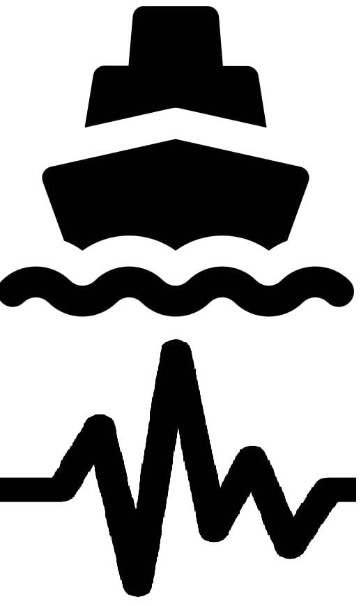
During the implementation of the project, the geoinformation database is replenished with information about earthquakes obtained from the operation of local networks of bottom seismic stations, which are installed in an ongoing series of marine expeditions to the Arctic seas of Russia. Seismic records of several sets have already been obtained in the Laptev Sea, the Kara Sea and the Barents Sea. We also use the records obtained in a series of setting local networks of ground seismic stations in the delta of the river. Lena. Further expeditions are planned in the region.
Routine processing of seismic records is carried out by semi-automatic methods, separating the tasks of detecting a seismic event and accurately identifying the moments of arrival of various seismic waves. Taking into account the features of seismic noise recorded in shelf and coastal areas, the following criteria are used together for signal detection: increase in signal amplitude, correlations from records of different stations, and signal duration. The automatically generated P- and S-wave arrival times are checked visually and adjusted to match the Wadati plot. The seismological software package SEISAN is used for waveform visualization and manual phase selection. Epicenter coordinates, focal depths, time in the earthquake source of local earthquakes are determined using a whole set of programs: HYPO-71, HYPOCENTER, HYPOINVERSE, HYPOSAT, followed by comparison and analysis of the results obtained. To calculate the magnitudes of earthquakes, various scales of local magnitudes and code-magnitudes are used.
The project systematizes and analyzes the information available in the literature on the location and characteristics of gas seeps, mud volcanoes, hydrothermal vents, landslides, etc.
A geoinformation database is being created with information about the location and characteristics of endogenous geological hazardous objects and phenomena in the Arctic seas of Russia. Most of the materials used in the work are presented in the form of diagrams or maps. It is necessary to match all objects, combining them in a single coordinate system. For this purpose, maps are spatially referenced using the capabilities of GIS systems, objects are vectorized and reprojected. This allows you to compare the position of objects and identify those that duplicate each other. Various popular GIS systems are used, such as Global Mapper, Surfer, Saga GIS, Google Earth. In combination, these programs have a full-fledged GIS functionality that allows you to spatially reference all types of objects, edit, process and export them.
Based on the developed geoinformation system, a web-platform with an interactive cartographic presentation of systematized information is being created. For this, the functionality of the Mapbox web service object is used. Objects on the interactive map are accompanied by corresponding metadata and links.